There are plenty of interesting places and cool people to meet.
It goes through the less used, less expensive parts of the Adirondacks.
The wilderness areas are less crowded, unlike the High Peaks mob scene.
There are good properties for sale at reasonable prices in the Park.
It's extension into Quebec, Canada (PQ 138) goes directly into the City of Montreal.
Why Not?
A Guide to the all the natural wonders, towns and villages, shopping, services and outdoor fun along the main North-South blue route through the Adirondacks Serving all folks: Tourists, Residents, Hunters, Fishermen, Vacationers, Settlers, Outdoorsmen and other lovers of the rugged outdoor life


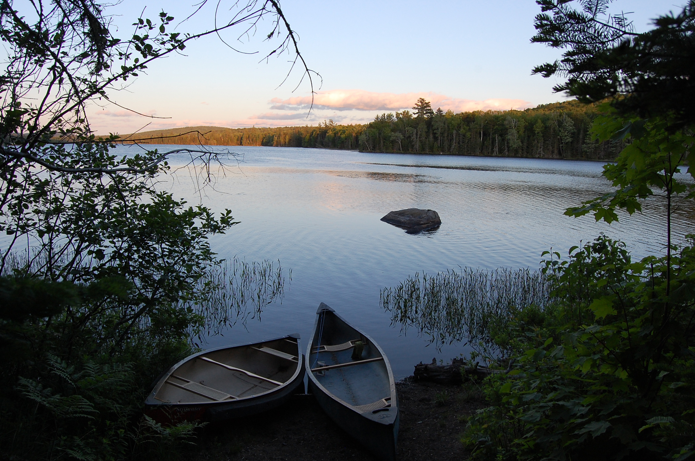 Canoes on Lake Durant, near Blue Mountain Lake.

